The Hydroclimatic Atlas is a map browser presenting the water regime of rivers in southern Quebec, in current and future climates.
In general, the waterways of southern Quebec will be subject to more frequent winter thaws, an increase in precipitation in the form of rain in winter and spring, as well as more intense episodes of extreme rainfall in summer and in autumn. These changes will vary according to the seasons and regions.
By predicting the impact of climate change on river flows, the Hydroclimatic Atlas helps support the implementation of water management practices that are resilient to climate change. It has three tools:

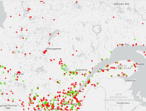
Hydrometric station map (flow and level), with station information and links to data.

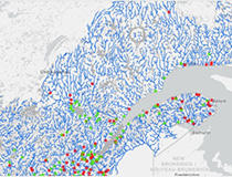
The Portrait is a retrospective analysis of flows. The app provides access to daily flow time series for the period 1970-2022, over nearly 10,000 gauged and ungauged river sections. It gives access to historical flow values for a stretch of river without a station or for a period when data from a station was not available.

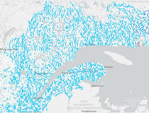
Hydrological indicators (flood, low water, etc.) for the historical period and projected in future climate, for nearly 10,000 sections of gauged and ungauged rivers.
To ensure that the Hydroclimatic Atlas remains a tool adapted to the needs of users and that it makes the most up-to-date data available, improvements are made to it on an ongoing basis.
The Ministère therefore invites users to submit comments or recommendations about the web interface, the Atlas design methodology or the accompanying tools.
The next version of the Atlas will thus benefit from feedback from its user community.
Write to us at atlas.hydroclimatique@environnement.gouv.qc.ca.